Dying Light Interactive Map
Harran
Dying Light map overview
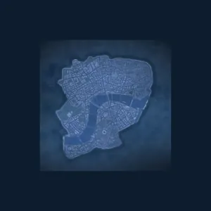
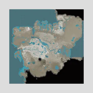
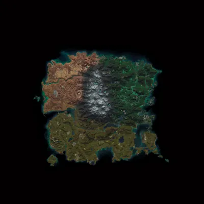
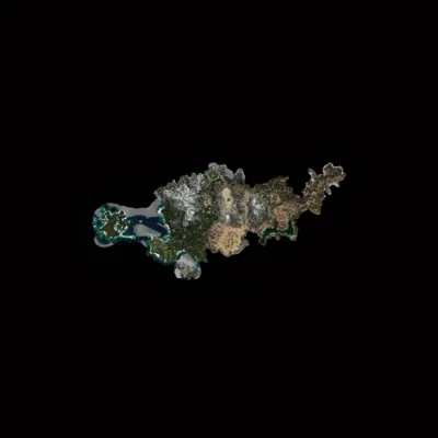
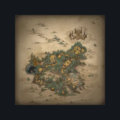
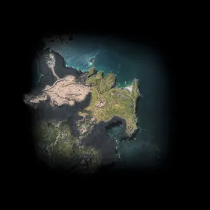
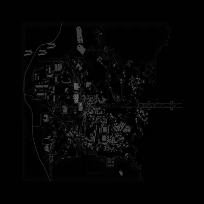
Explore Dying Light with 1,683 searchable locations across 4 maps: The Slums, Old Town, The Countryside, Antenna. The largest area is The Countryside with 689 markers. Use the live filters to show categories such as Loot Crate (439), Blueprint (112), Zombie Statue (100), Police Van (93), then pan and zoom to inspect each location.
Keep your collected markers
Explore freely here, then save your collection progress in PSN Tracker on iPhone.
What you can find
Maps and location coverage
Dying Light interactive map FAQ
How many locations are on this map?
This viewer includes 1,683 locations across 4 maps. The marker total comes directly from the map data shown above.
Which map areas are included?
The Slums, Old Town, The Countryside, Antenna are available from the map selector.
Can I filter collectibles and locations?
Yes. Search marker names or toggle any of the 48 available categories to narrow the map instantly.
Is the Dying Light map free?
Yes. The web map is free to explore. PSN Tracker for iPhone adds a portable collection checklist and trophy tracking.
Hunting the platinum?
Pair the map with the complete Dying Light trophy list and step-by-step guide.
View trophy guide →